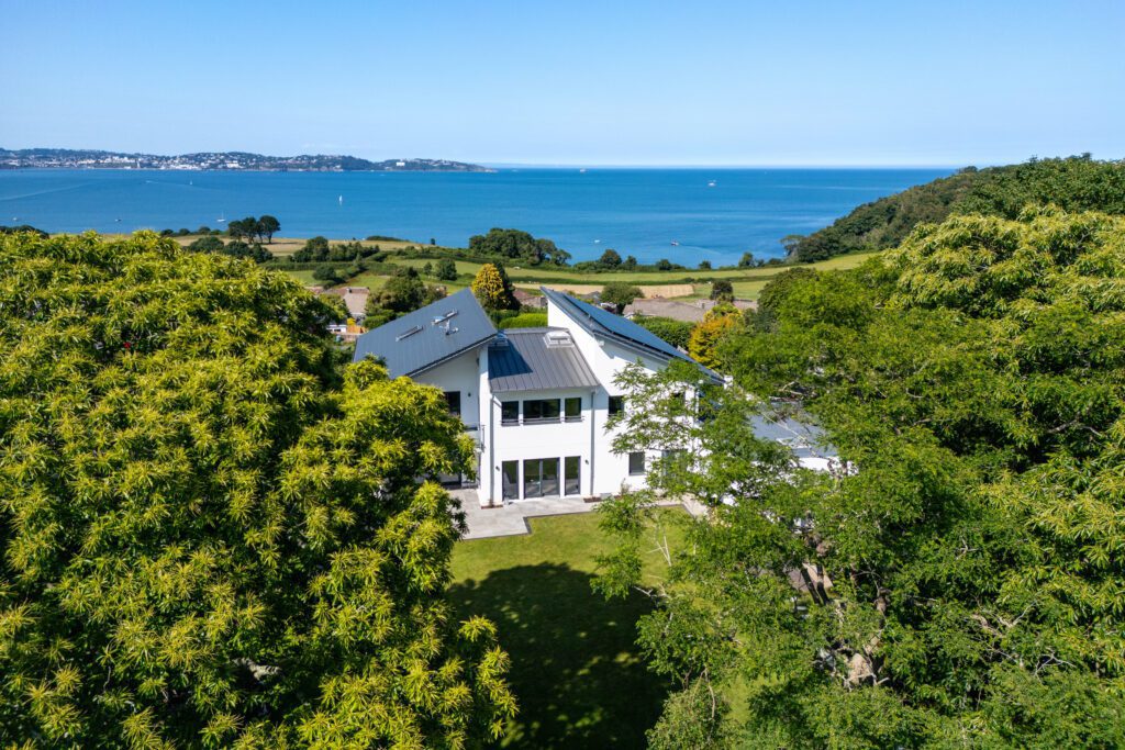
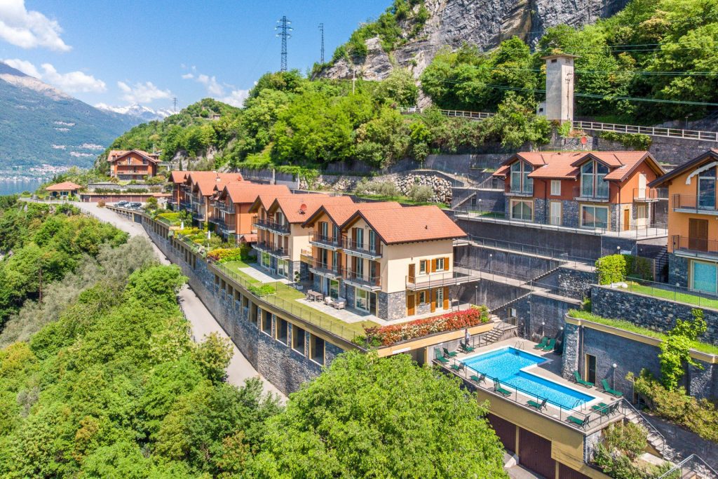
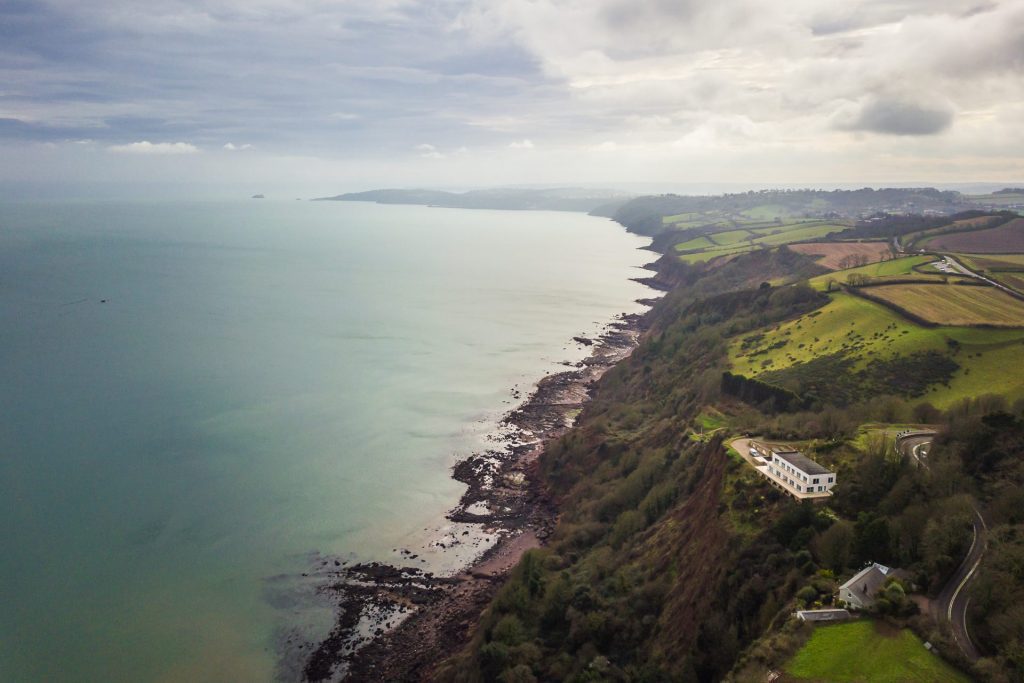
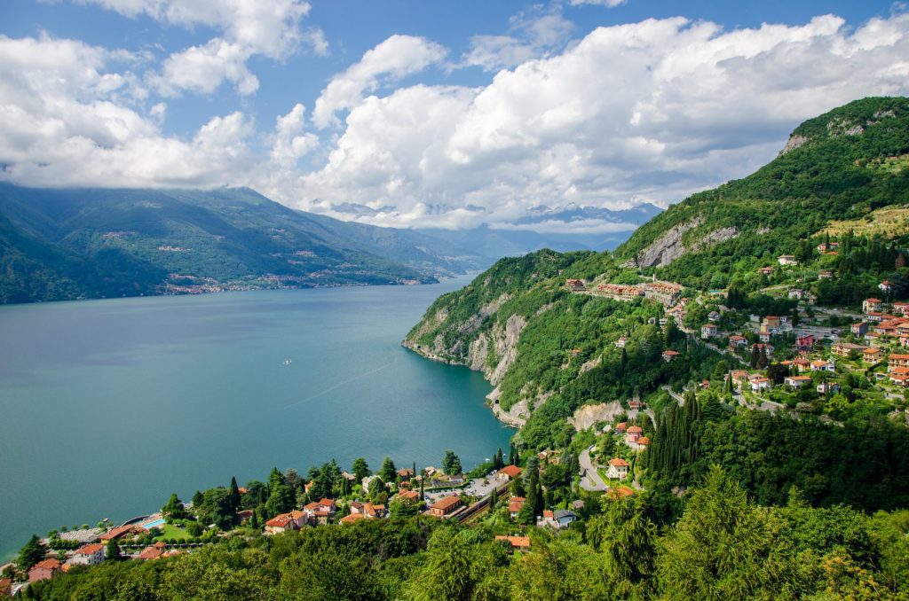
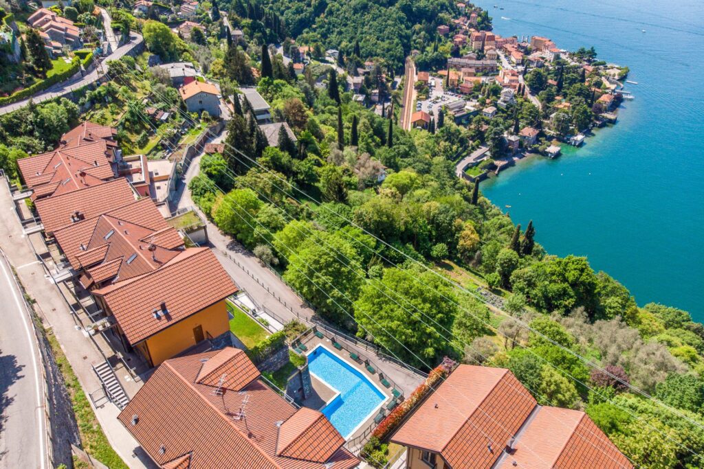
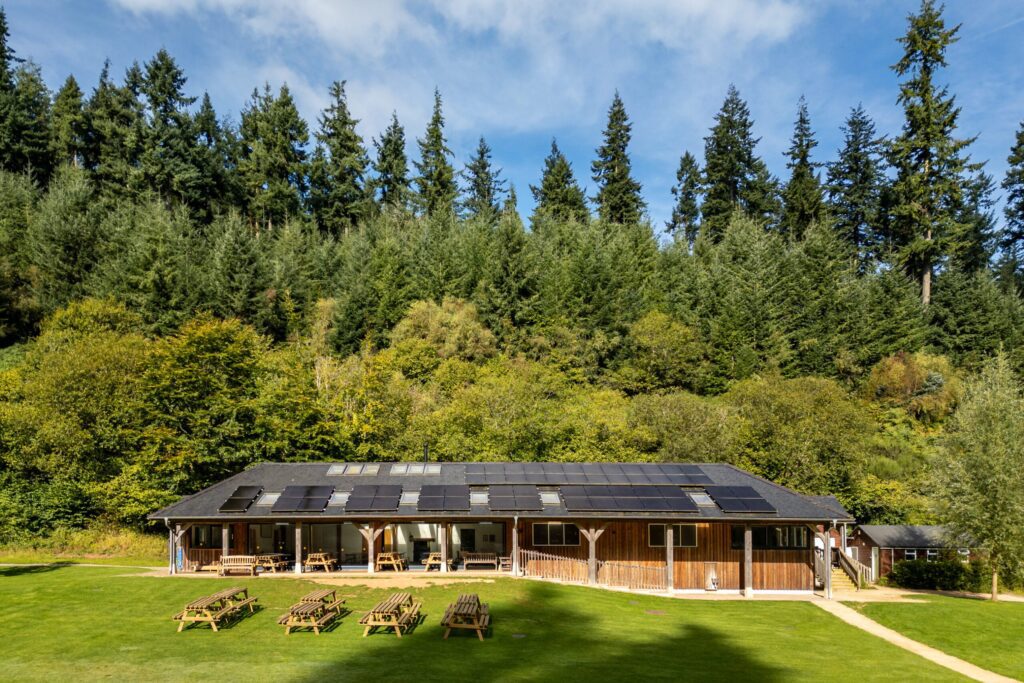
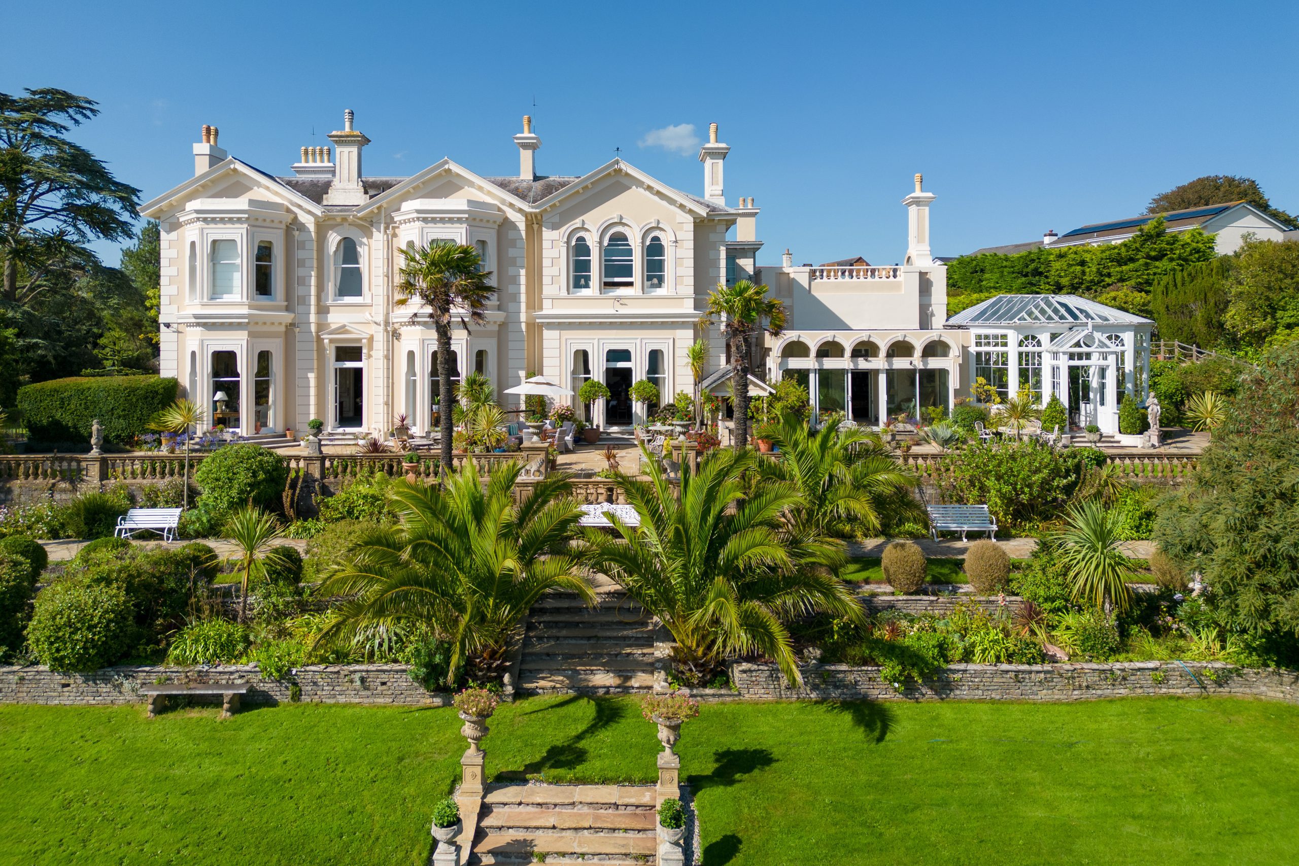
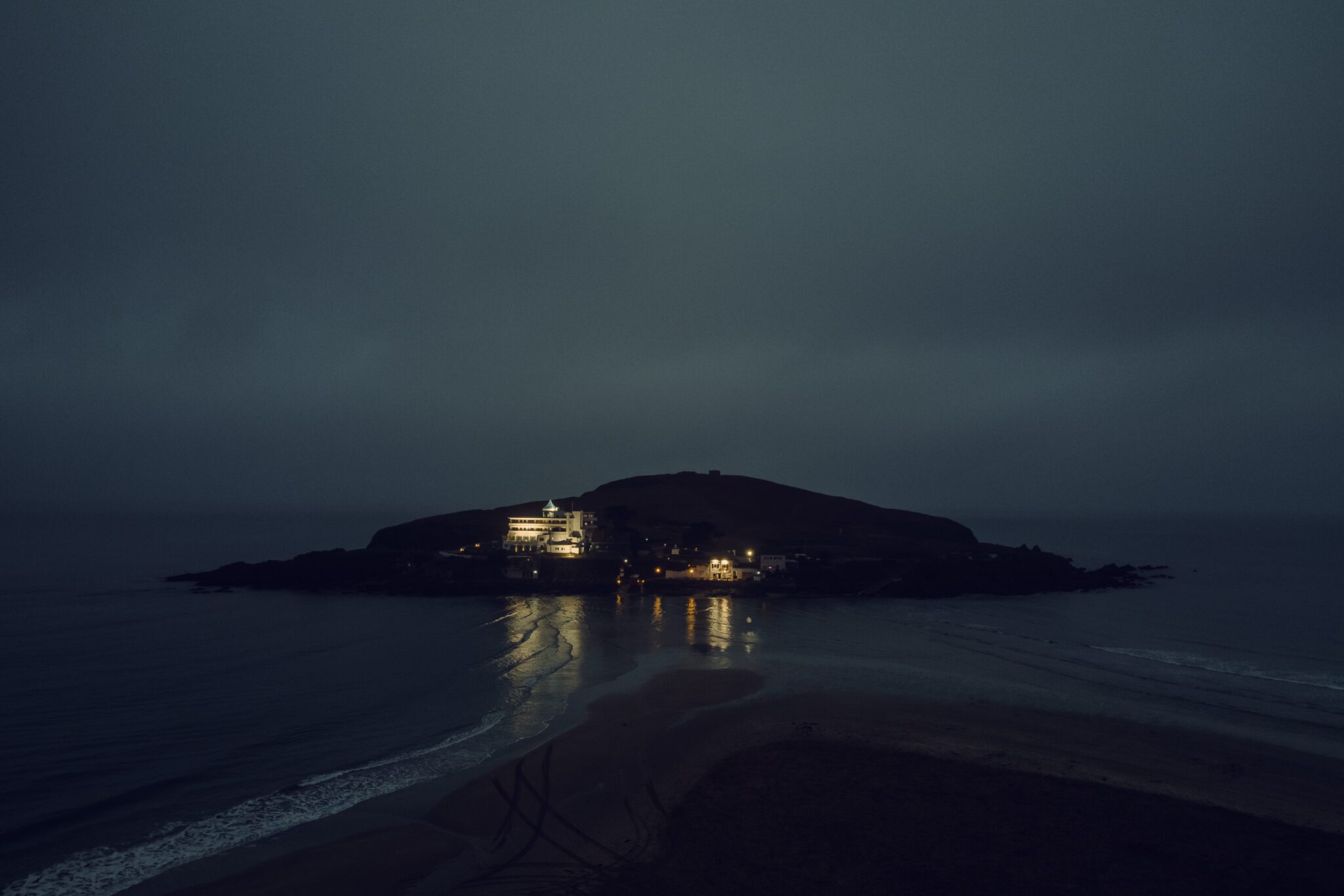
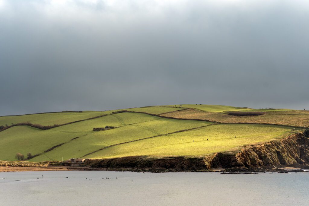
Aerial drone photography shows not just the building, but its setting. From its position relative to the coast, cliffs, or estuary, to the surrounding landscape, access, boundaries, and site layout, it gives a clear view of how a place sits and functions.
Property and location
Setting within the landscape, distance to the coast, access, boundaries and overall layout.
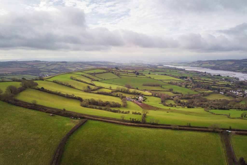
Land and rural
Fields, boundaries and land use. Farm buildings and access tracks. Estate scale and layout.
Planning and documentation
Planning submissions and context images that show how a site relates to its surroundings.
Construction and site monitoring
Progress tracking, before-and-after documentation, and overall site layout.
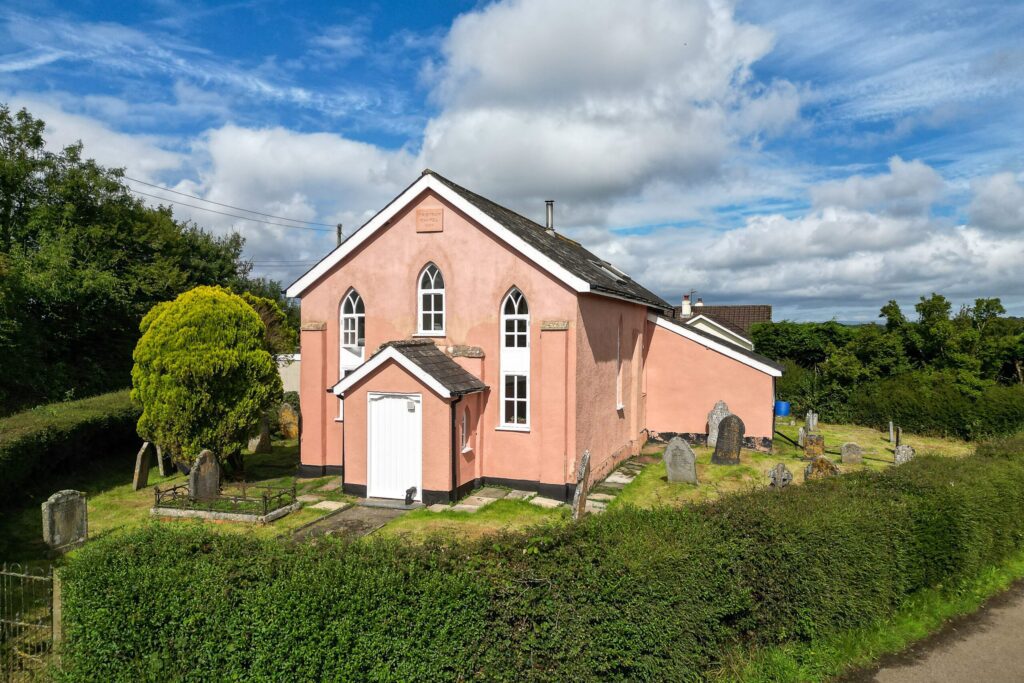
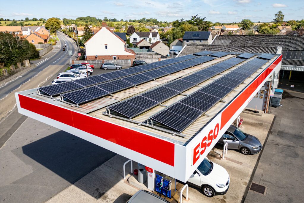
Inspection and surveys
Roof inspections, hard-to-reach structures and general condition surveys.
Working across Devon, the UK and internationally, I combine drone photography with ground-level imagery and short video where needed. Each flight is planned with attention to safety, compliance and the conditions on the day.
Aerial photography is about perspective as much as it is about height. If you need drone photography for marketing, inspection or documentation, find out more