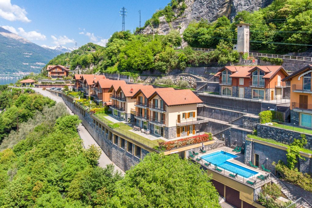
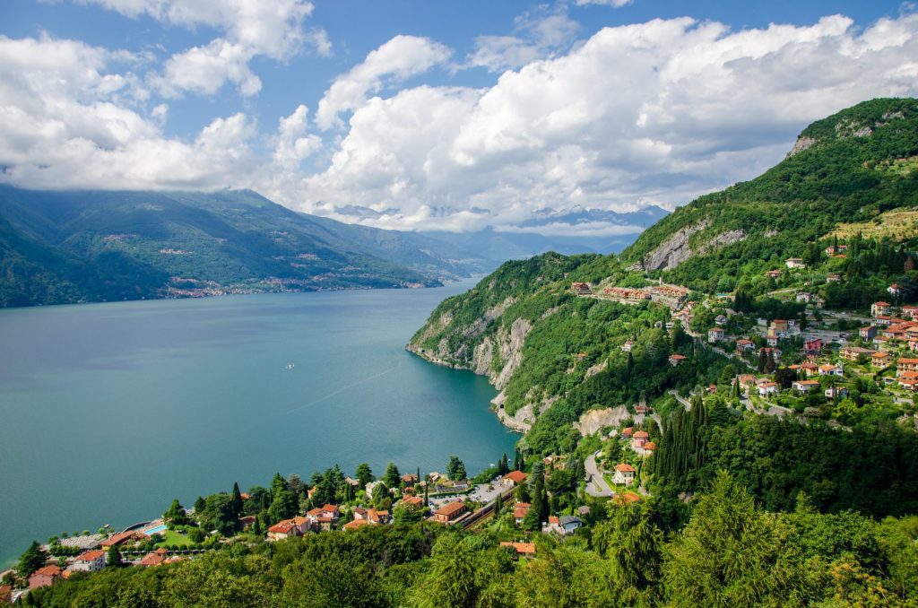
aerial drone photography: precision, perspective, impact.
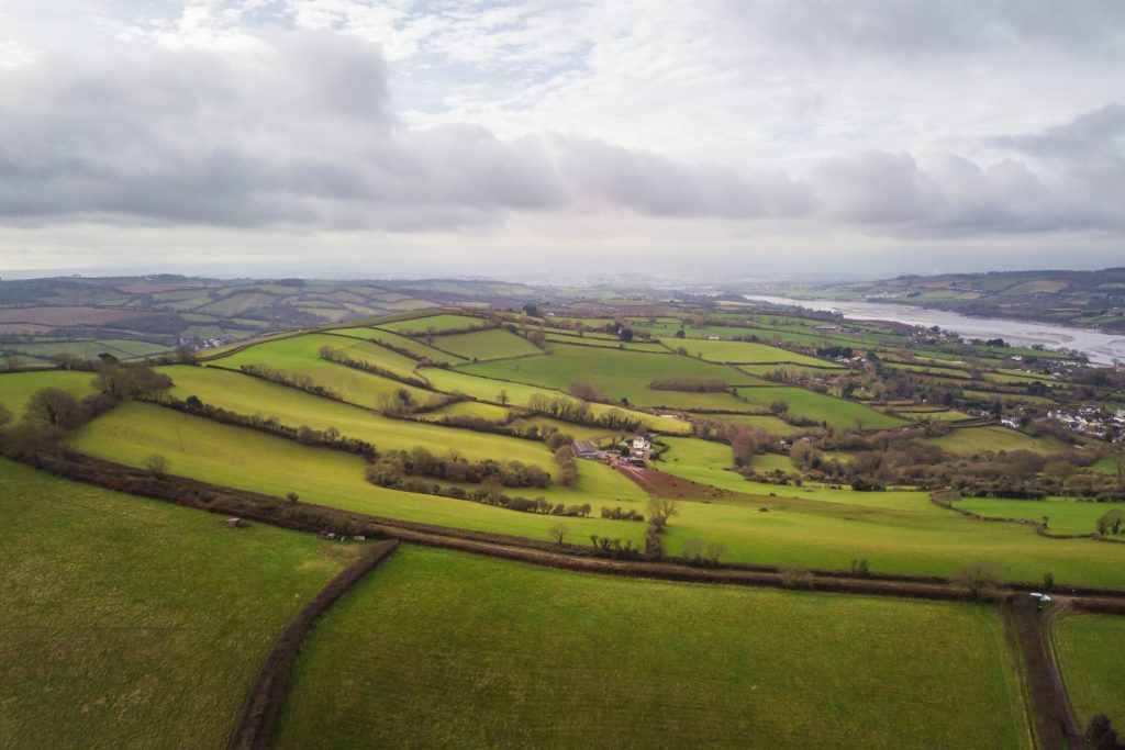
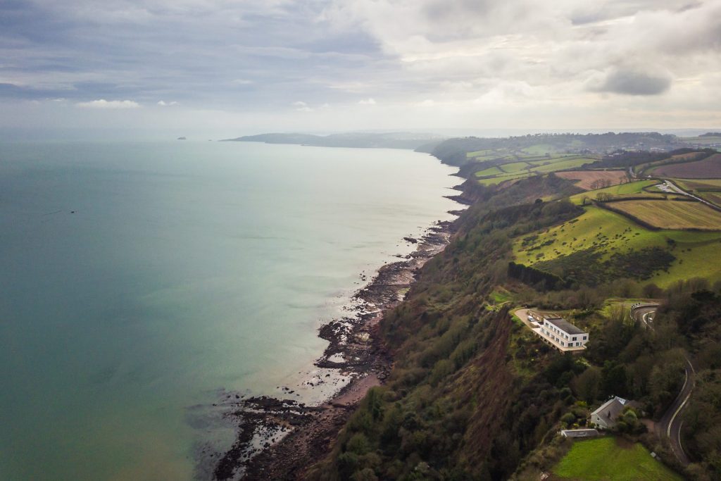
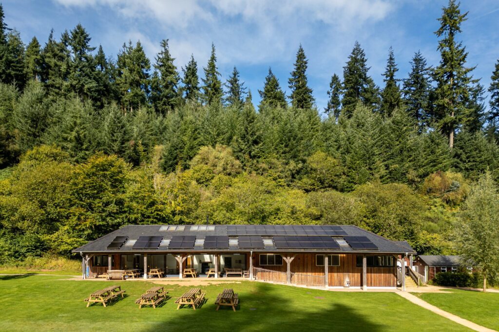
Some views aren’t possible from the ground. Aerial drone photography captures estates, coastlines, construction sites, and commercial properties from above, offering visual storytelling and practical insights.
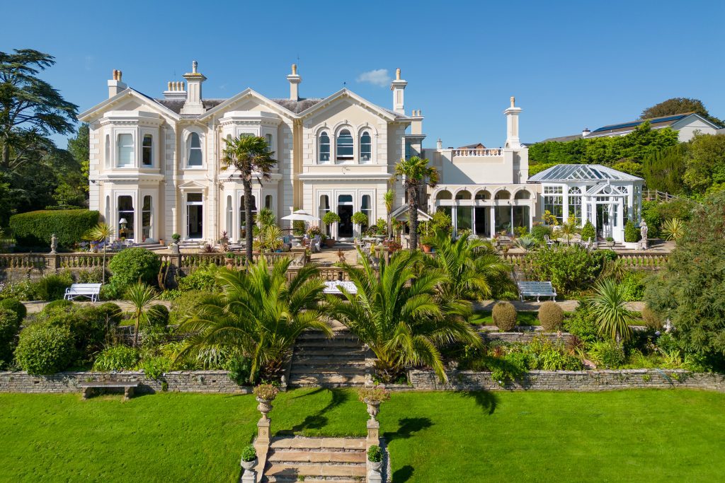
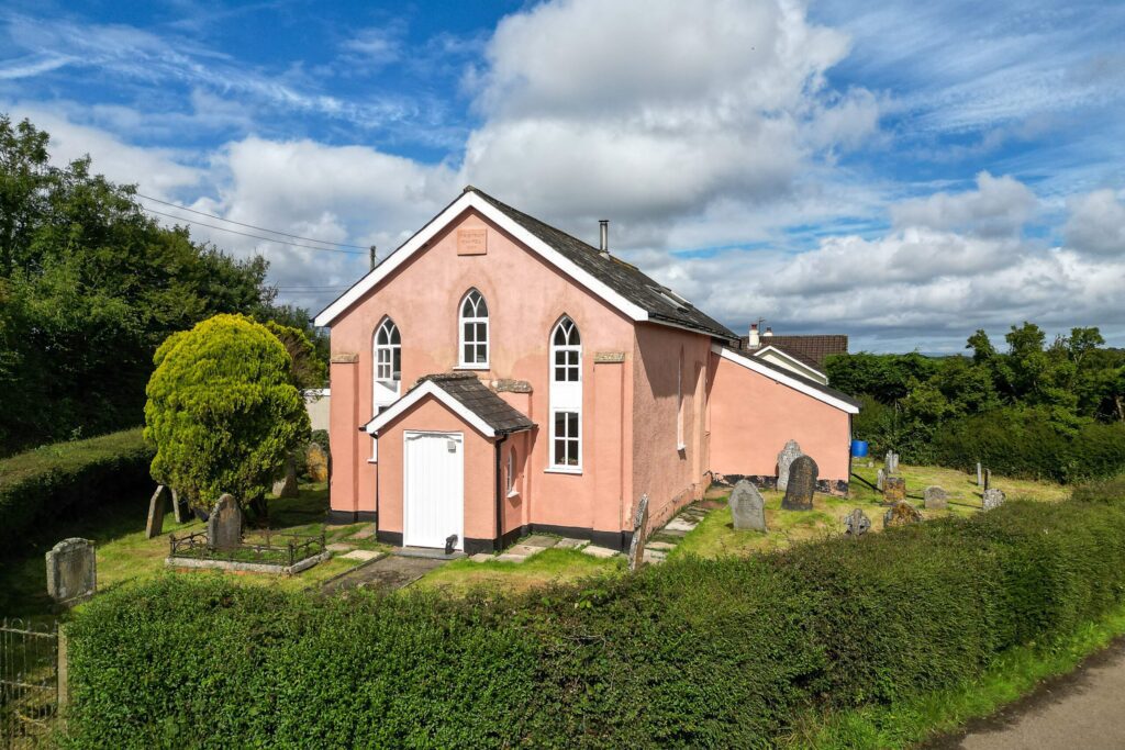
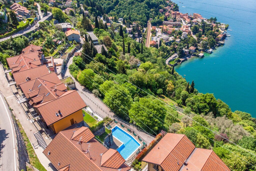
✔ Property & Real Estate Marketing – Aerial imagery enhances listings, showcasing a property’s full scale, setting, and surroundings.
✔ Construction & Site Monitoring – Track progress, document before-and-after views, and support project management with high-resolution aerial photography.
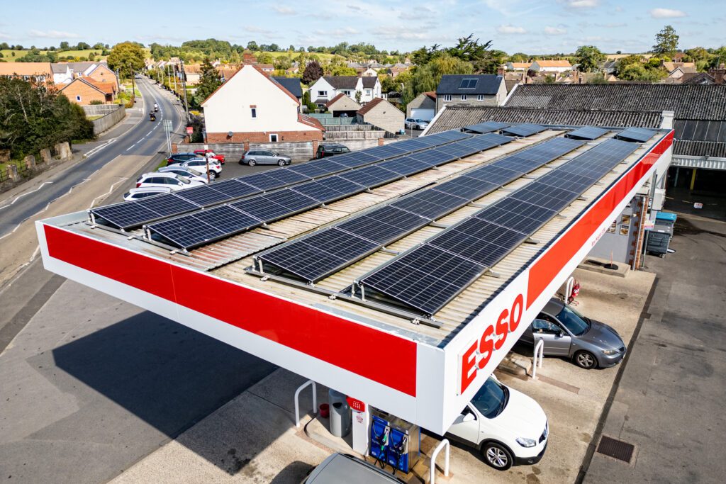
✔ Inspections & Surveys – Aerial images assist with roof inspections, infrastructure assessments, and documentation for planning and development.
✔ Tourism & Destination Marketing – Capture the scale and beauty of landscapes, resorts, and heritage sites with cinematic aerial perspectives.
Working across Devon, the UK, and internationally, I combine drone photography, ground-level imagery, and short video footage to deliver a complete visual solution. Every flight is carefully planned to ensure compliance, safety, and quality results.
Aerial photography isn’t just about height—it’s about perspective. If you need professional drone photography for marketing, inspections, or documentation, find out more